 Download
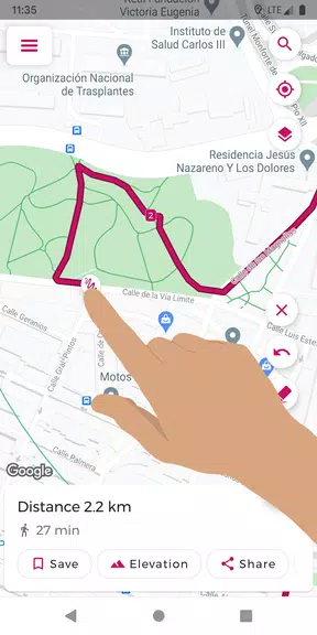
Easily plan your perfect route with Just Draw It! – Route Planner. Just swipe your finger across the map to draw your path and see the total distance instantly. Whether you're running, walking, cycling, or on any other adventure, this app removes the guesswork. Save your favorite routes, import and export GPX files, and view detailed elevation profiles. With tools like snap-to-roads and location search, route planning is simpler than ever. Stop getting lost and start exploring confidently with Just Draw It! – Route Planner.
Key Features of Just Draw It! – Route Planner:
* Draw routes with your finger: Plan your path by simply swiping across the map.
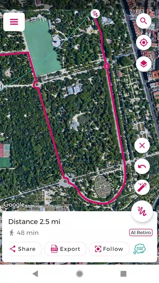
* Import and export GPX files: Modify existing routes or share them with others.
* Calculate point-to-point distance: Obtain precise measurements for your planned journey.
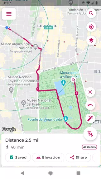
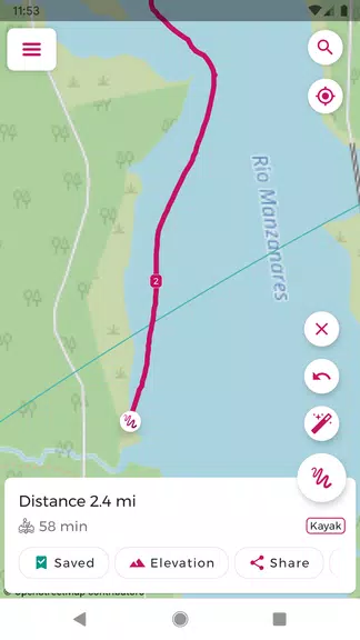
* Save favorite routes: Keep your preferred paths handy for quick access.
* Snap to roads: Adjust your route to follow actual paths and roads for greater accuracy.
* Route elevation profile: View the climbs and descents along your way.
Helpful Tips for Users:
* Before heading out, plan your trip and calculate distance with Just Draw It! – Route Planner.
* Save time by importing GPX files and customizing them to suit your plans.
* Share routes with friends to discover new trails together.
* Use the location search to quickly set a starting point for your route.
* Check the elevation profile to prepare for any challenging hills or slopes.
Conclusion:
Just Draw It! – Route Planner is the ideal companion for all outdoor activities, including walking, running, cycling, and boating. Its intuitive features and accurate calculations make route planning effortless. Download it today and explore your world with confidence and ease!